Coast Guard Proposed Actions
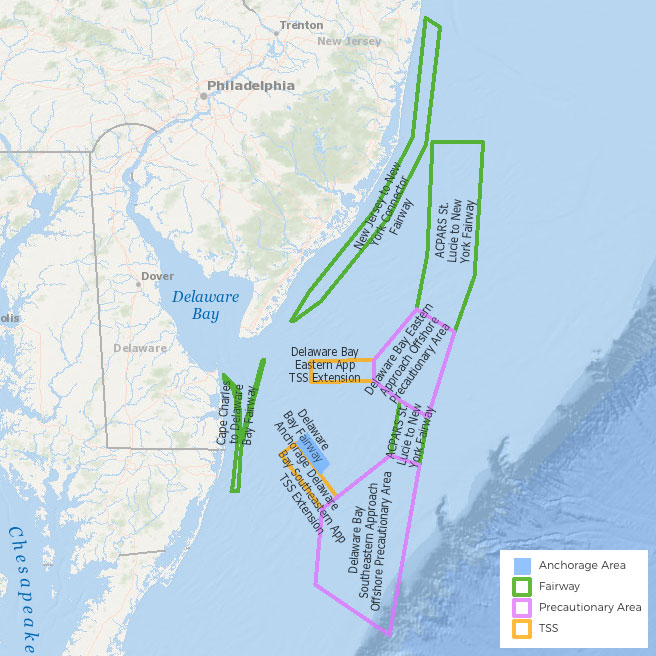
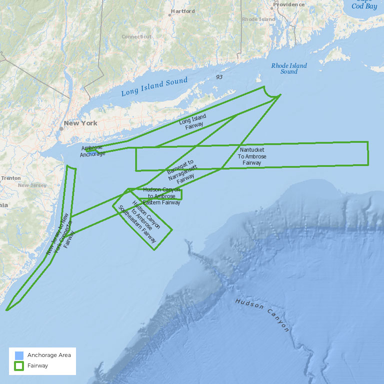
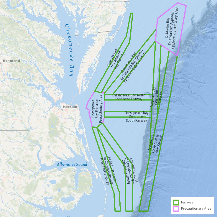
This page provides access to maps, data, and information related to a selection of US Coast Guard proposed actions in the northeast region. The USCG proposed actions shown here were announced in the Federal Register and are often associated with public comment opportunities. Many of the proposed actions relate to Port Access Route Studies (PARS), which are conducted anytime the Coast Guard proposes routing changes, within the territorial seas, for any port.
Visit the Federal Register for a complete list of US Coast Guard proposed actions.
Portal users can access interactive maps of the boundaries of proposed actions by clicking the buttons below. The buttons open the Data Explorer tool, where users can then overlay the boundaries with any other data on the Portal pertaining to ocean uses (e.g., vessel traffic, recreation, aquaculture) or the ecosystem (e.g., marine life, habitat).
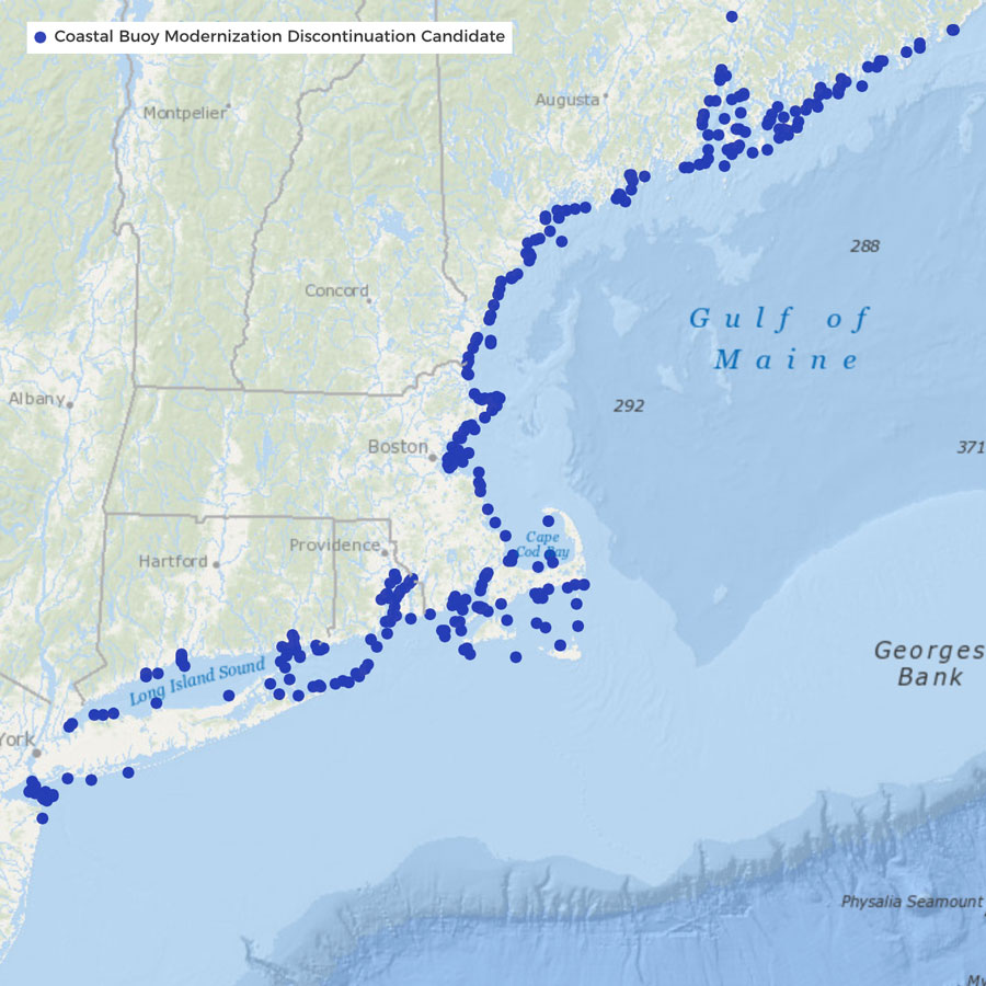
First District Coastal Buoy Modernization Initiative Proposal
Status: Public Comment Period Ended June 13, 2025
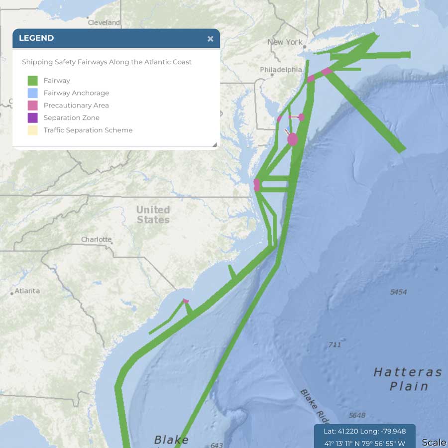
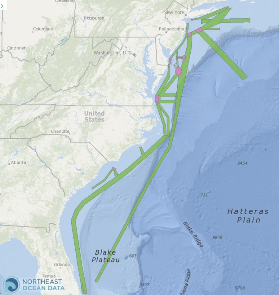
Proposed Rule: Shipping Safety Fairways Along the Atlantic Coast
Status: Public Comment Period Ended May 17, 2024
Consolidated Port Approaches Port Access Route Studies (CPAPARS)
Study Status: Completed
The CPAPARS summarizes the findings of four regional port access route studies: the Northern New York Bight; Seacoast of New Jersey Including Offshore Approaches to the Delaware Bay, Delaware; Approaches to the Chesapeake Bay, Virginia; and the Seacoast of North Carolina; as well as dialogue with the maritime industry.
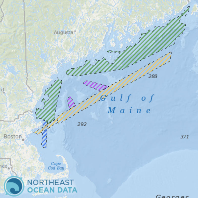
Port Access Route Study: Approaches to Maine, New Hampshire, and Massachusetts
Study status: Completed
Portal news items: 4/18/23, 1/25/23
Regulations.gov notice 1/12/23
Federal Register Notices: 04/06/2023, 01/03/2023, 06/28/2022, 03/31/2022
New Jersey Port Access Route Study (PARS)
Study status:
Subsumed by Consolidated Port Approaches PARS
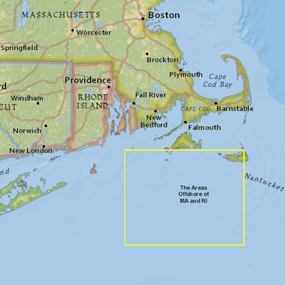
The Areas Offshore MA and RI Port Access Route Study (PARS)
Study status: Completed

