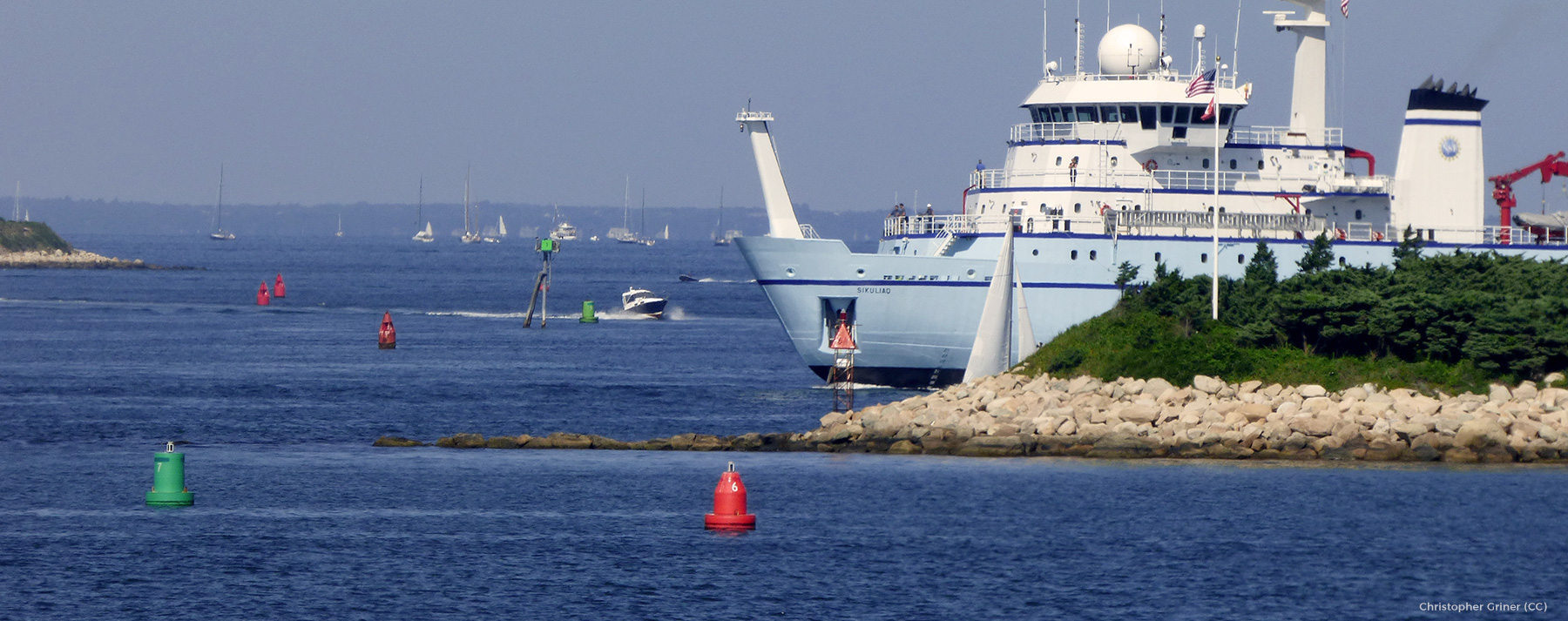
Today the Northeast Ocean Data Portal released updates to navigation-related data shown on the Marine Transportation Theme Map and the Data Explorer. The navigation data—such as layers depicting Pilot Boarding and Anchorage Areas, Ocean Disposal Sites, Obstructions, Submarine Cables, and Aids to Navigation—have been updated with the latest information and enhanced with improved visualizations.
The Portal’s navigation-related maps show features that are important to waterway users and decision-makers such as pilots, mariners, fishers, port authorities, and industry in order to maintain a safe and secure waterway. The maps provide information that can be used to support ocean planning and implementation of other ocean uses such as offshore wind energy development projects.
The Northeast Regional Ocean Council (NROC) and the Portal Working Group continue to play a role in the development and maintenance of navigation data. Several layers were initially developed by NROC and the Portal Working Group and reviewed by marine industry and U.S. Coast Guard, U.S. Army Corps of Engineers, and EPA staff in the region. The Marine Cadastre now maintains many of these datasets and others.
Navigation datasets with updated information and/or enhanced visualizations include:
- Principal Port (based on total annual tonnage)
- Pilot Boarding Stations and Pilot Boarding Areas
- Anchorage Areas
- Unexploded Ordnance Locations
- Ocean Disposal Sites
- Deepwater Ports, including LNG and Oil
- Aids To Navigation
- Danger Zones and Restricted Areas
- Traffic Lanes
- Submarine Cables and Submarine Cable Areas
- Submarine Pipeline Areas
Metadata and downloadable databases are available on the Data Download page in the Marine Transportation section under Sources of Externally Hosted Data.
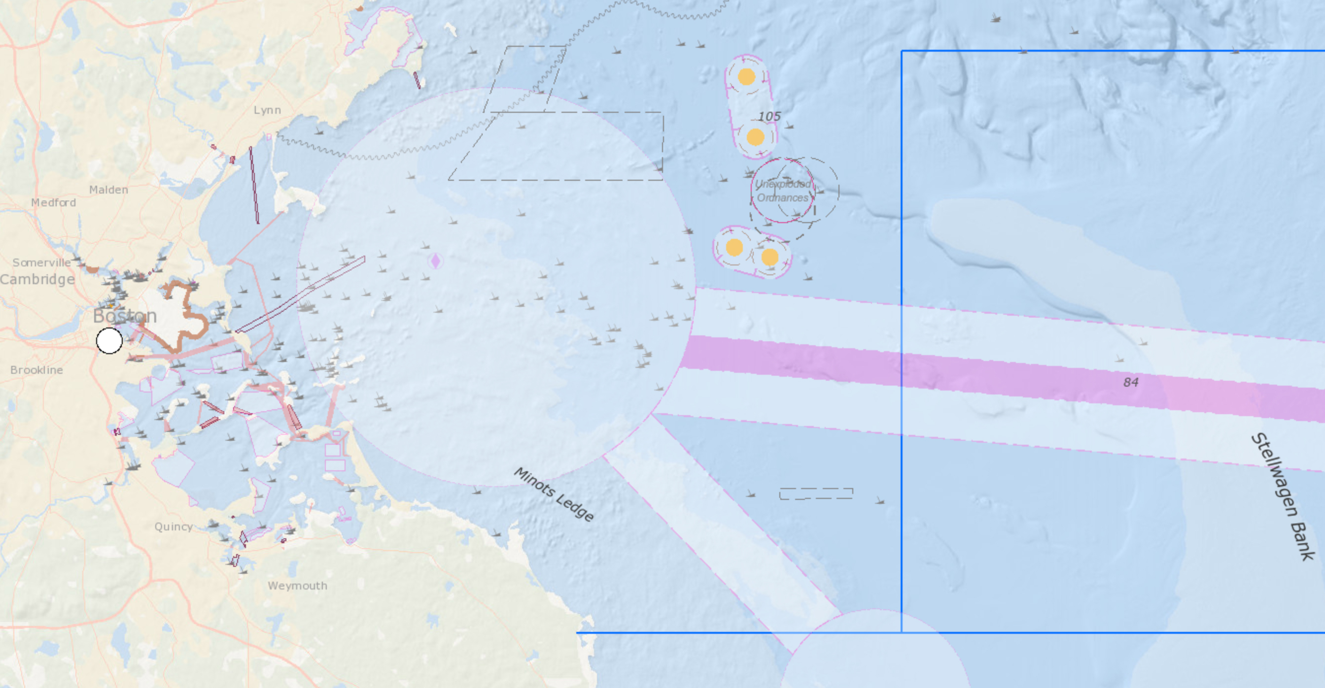
Boston Harbor and Vicinity
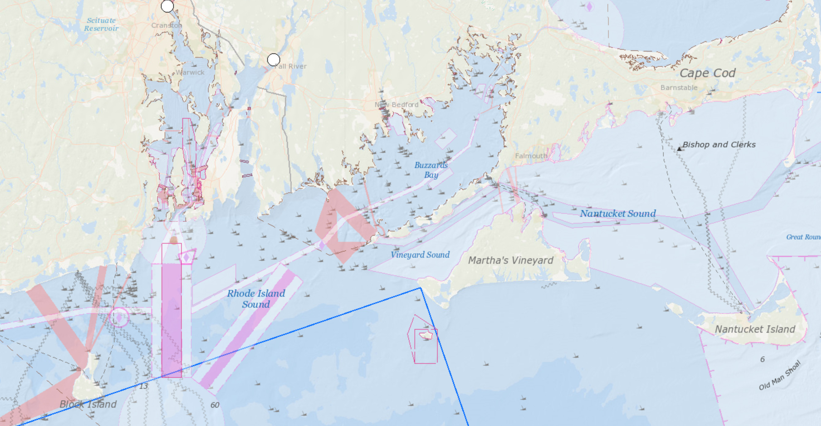
Narragansett Bay to Nantucket Sound
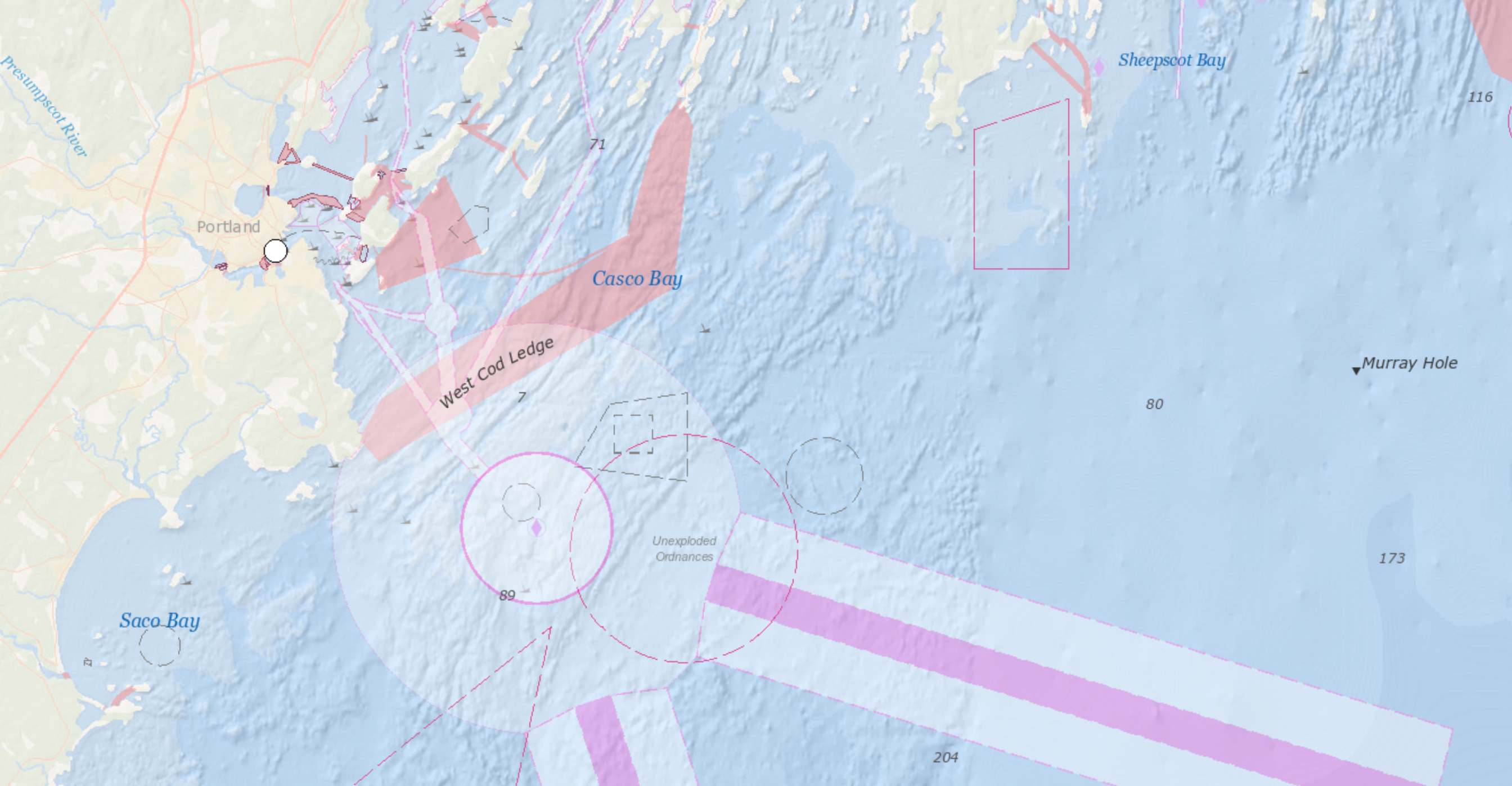
Casco Bay and Vicinity


