


Northeast Ocean Data announces an update to the regional eelgrass interactive map for the northeastern United States. The newly added datasets include eelgrass beds in New Hampshire, Massachusetts, and Rhode Island based on state datasets updated since 2014.
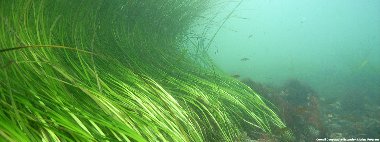
Eelgrass (Zostera marina) is an underwater, flowering plant that provides food and shelter for many species of commercially and recreationally important fish and shellfish, and their prey. The presence of eelgrass is an important consideration for a variety of coastal and ocean management activities.
The Northeast Ocean Data Working Group developed the regional dataset and map collaboratively with state agencies and a group of eelgrass experts to provide a single, centralized source of eelgrass data for New England. The original version contained datasets through 2014. With this update, the map now shows eelgrass coverage based on available recent data for Connecticut, Maine, Massachusetts, New Hampshire, and Rhode Island.
Links:
