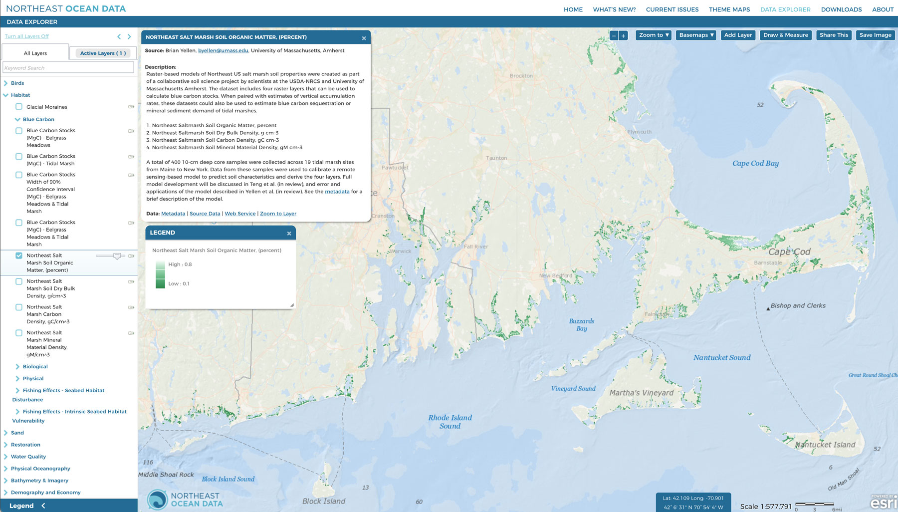
The U.S. Department of Agriculture Natural Resources Conservation Service (NRCS) and University of Massachusetts Amherst collaborated to develop raster-based models of northeast U.S. salt marsh soil properties.
Soils and sediments account for the vast majority of organic carbon within salt marshes. The dataset includes four raster layers that can be used to calculate blue carbon stocks. When paired with estimates of vertical accumulation rates, these datasets could also be used to estimate blue carbon sequestration or mineral sediment demand of tidal marshes. The four layers can be found in the Data Explorer under Habitat > Blue Carbon.
This dataset provides continuous estimates of marsh soil properties at 10 m pixel resolution, including soil organic matter, soil bulk density, soil carbon density, and soil mineral density. Average error for these data layers is as low as 15% for carbon density and as high as 32% for soil organic matter based on comparison of observed and modeled values at 430 field data sites across the northeast U.S.
The NROC Coastal Vegetation and Blue Carbon Work Group, which recently released the first regional maps of blue carbon reservoirs from Maine to Long Island, will be using these new marsh soil properties layers to update and improve the next regional maps. Read more about the Work Group’s activities: https://neoceanplanning.org/data-issues/blue-carbon/
The data can be downloaded from the USDA AgDataCommons. A forthcoming scientific paper (currently in review) will describe the methods in detail. The metadata provides an overview of the input datasets and modeling methods.


