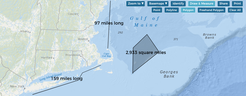
Examples of distance and area measurements using the Polyline and Polygon tools.
Now you can measure distance and area on the interactive Data Explorer map. The measuring feature has been added to the Draw tool, which is now called Draw & Measure.
To measure distance:
- Click the Draw & Measure button.
- Click the Polyline button.
- Click on the map to begin drawing a line.
- Double-click to end the line. The distance will display automatically next to the line.
You can also draw a line with multiple segments, and the total distance along the line will display. To draw multiple segments, single-click at the end of each segment, and then double-click at the end of the line.
To measure area:
- Click the Draw & Measure button.
- Click the Polygon button or Freehand Polygon button.
- Single-click on the map to begin drawing a polygon.
- Single-click where you want to make a corner on the polygon.
- Double-click to close the polygon. The area of the polygon will display automatically on the map.
Here’s a one-minute tutorial showing how to use the measuring tool:


