


Bathymetry
Bathymetry > Ongoing and Planned Surveys and US Mapping Coordination
Downloadable Bathymetry Datasets
Use the Data Explorer to find and download high-resolution bathymetry data from around the region hosted by the NOAA National Centers for Environmental Information (NCEI). Open this Data Explorer map and click any footprint to reveal the data download link in a popup window. For additional sources of externally hosted data, visit the Data Download page.
This page contains links to information about efforts to collect new bathymetry data and to coordinate mapping surveys.

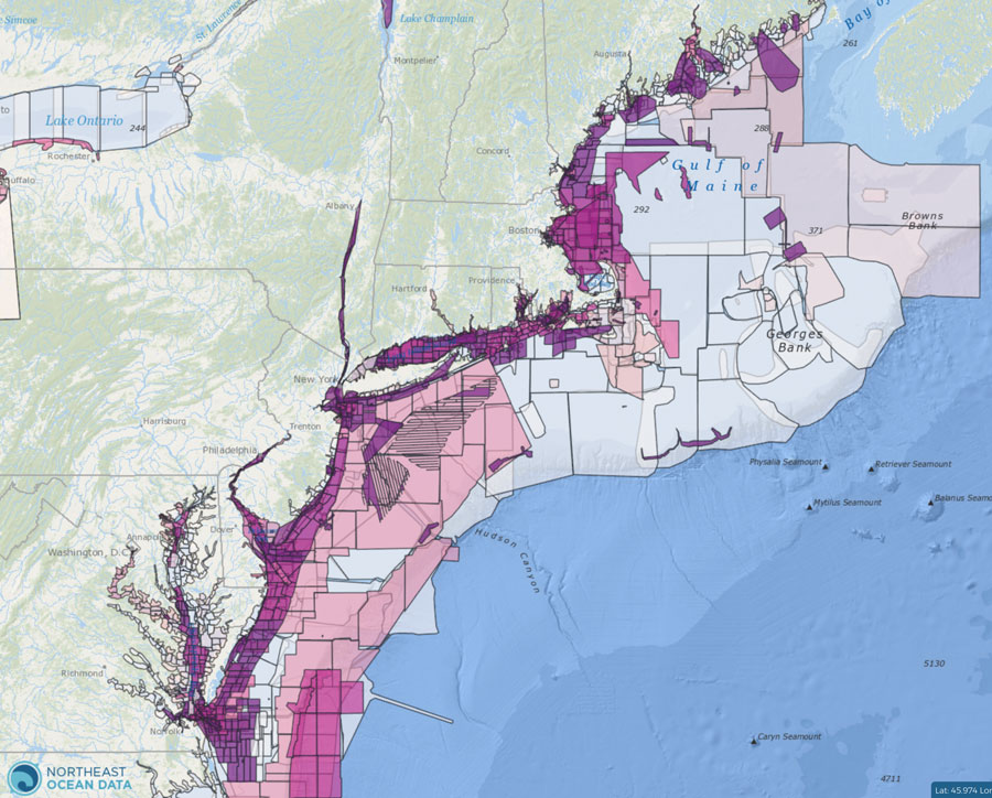
Planned NOAA Hydrographic Survey Areas (3-Year Outlook)
NOAA’s Office of Coast Survey produces this map layer showing the footprints of planned hydrographic surveys for the next three years. These areas are derived from NOAA’s hydrographic survey priorities, constituent requests submitted through navigational managers, and other factors. Planned surveys are tentative and subject to change based on each fiscal year’s budget allocation, developing priorities, and emerging constituent requests.

U.S. Mapping Coordination
The Integrated Working Group on Ocean and Coastal Mapping and the 3D Elevation Program work together on coordinated mapping requirements and acquisition plans of federal and state agencies around the country through this site.

Interagency Working Group on Ocean and Coastal Mapping (IWG-OCM)
This working group facilitates the coordination of ocean and coastal mapping activities and avoids duplication of mapping activities across the federal sector, as well as with state, industry, academic, and nongovernmental mapping interests.