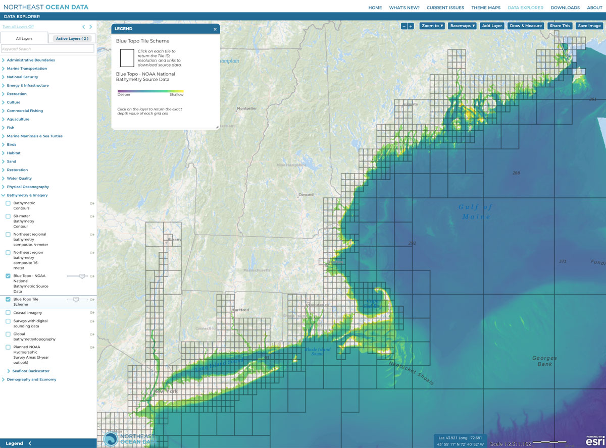
In the Data Explorer within the Bathymetry & Imagery category, Portal users can now access BlueTopo bathymetry data and accompanying information.
The bathymetry is compiled from multiple sources (primarily NOAA and US Army Corps of Engineers hydrographic surveys and topography-bathymetric lidar data) with varying quality and includes forms of interpolation. Coverage gaps in water greater than 200 meters are filled in BlueTopo through Global Multi-Resolution Topography, a merged model of bathymetry made available through Lamont-Doherty Earth Observatory. The resolution of Blue Topo ranges from 4-meters closest to the coast and nearshore areas and increases to 8-meters and then 16-meters further offshore. The bathymetric quality and interpolation are described through the vertical uncertainty layer and the associated data quality raster attribute table.
BlueTopo is unique because of the techniques used to combine the various sources into one nationwide model of the seafloor. The primary factors considered in combining these sources are the actual amount of seafloor measured by the survey (complete or partial), the uncertainty of the measurements of the bathymetric depth, and the time since those measurements were made (or decay factor). By combining surveys in this fashion, BlueTopo ensures that the best available data is represented in the model first, along with a metric of uncertainty.
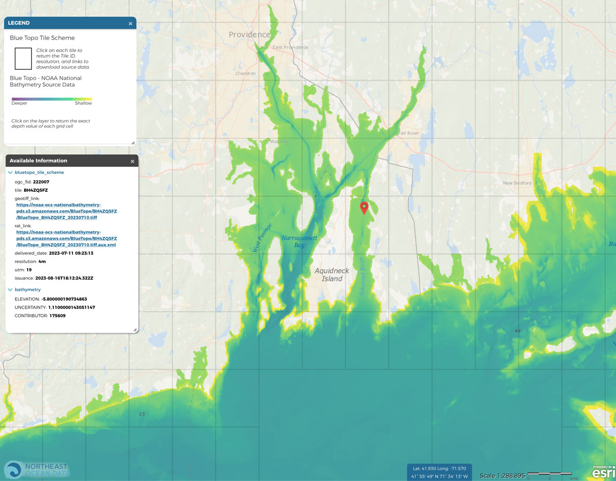
The BlueTopo bathymetry composite layer is accompanied by a Tile Scheme layer. Clicking on the Tile Scheme layer will open a popup box that contains a link to the underlying geotiff within that BlueTopo tile; a Raster Attribute Table link (“rat_link”) that defines where the data came from, the license for use, and some quality metrics; a resolution for the tile; and date that the tile was compiled and integrated into the product.
BlueTopo is also available to view and access through nowCOAST™ and via NOAA’s Open Data Dissemination Program.
Visit the NOAA Office of Coast Survey BlueTopo page to learn more.


