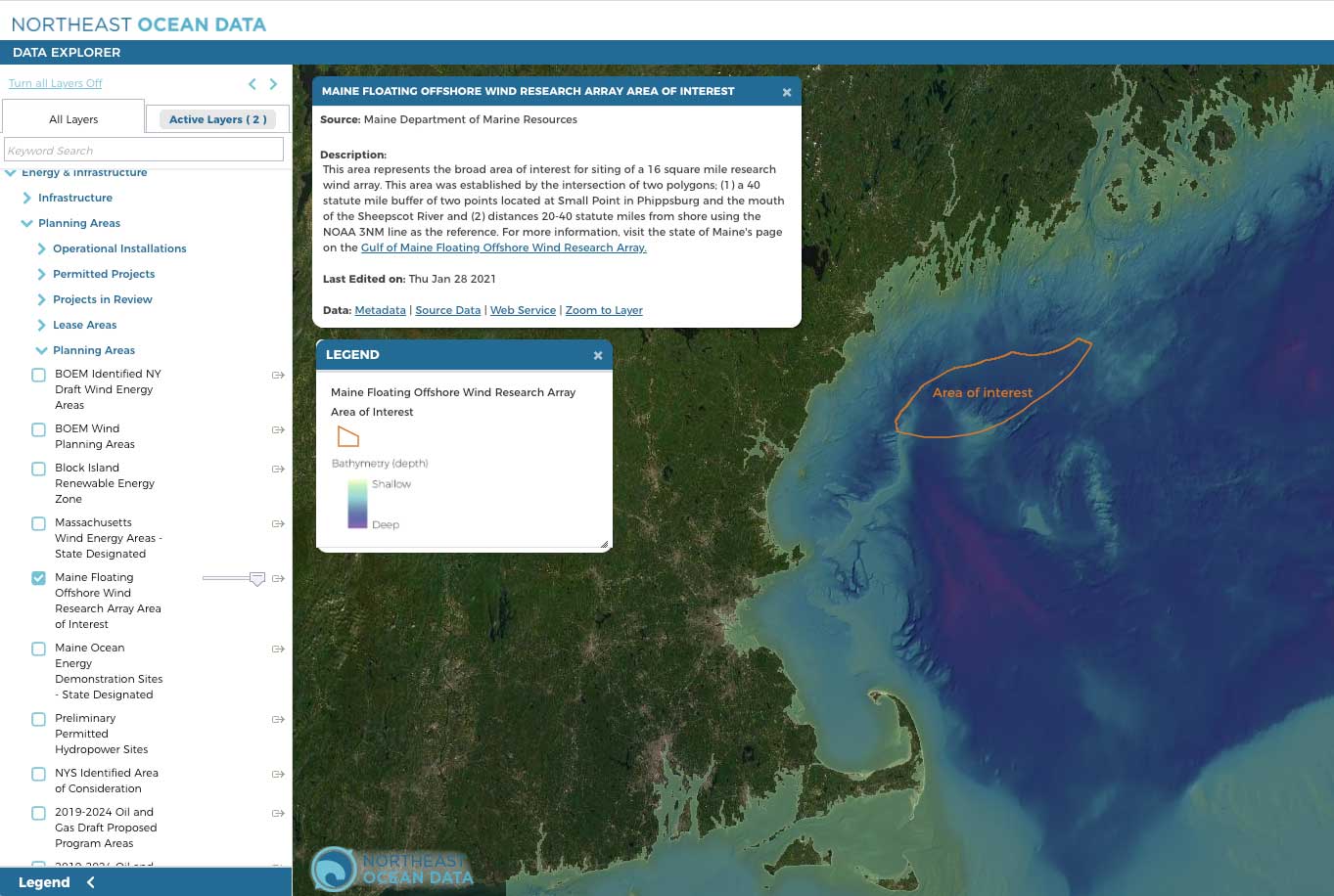
In November 2020, the State of Maine announced its intention to apply for an offshore floating wind research array in the Gulf of Maine. Maine has since developed an interactive GIS siting map of the Gulf of Maine to help support discussions with stakeholders.
A layer representing the current Area of Interest for the Gulf of Maine Floating Offshore Wind Research Array, from which a smaller site of 16 square miles or less will be identified, is now available to view in the Data Explorer within the Energy and Infrastructure: Planning Areas category.
On Friday, February 5, from 12:30pm – 5:00pm, the State of Maine is holding a public Floating Offshore Wind Research Array Planning Webinar. One of the objectives of the webinar is to briefly review and discuss siting criteria, existing relevant data (including data available on the Northeast Ocean Data Portal), priority data gaps, and potential research questions.


