


The Northeast Ocean Data Working Group is pleased to announce the release of maps showing predicted habitats of deep-sea corals in the northeastern United States.
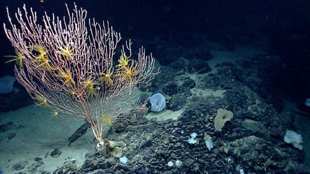 In this region, deep-sea corals live at depths of approximately 150 feet to greater than 6,500 feet on the continental shelf and slope. Little is known about deep-sea corals, which are of particular conservation concern because of their slow growth rates and vulnerability to disturbance.
Scientists are still discovering new sites in the Northeast where deep-sea corals live, and additional locations as yet unknown are assumed to exist. To assist with management and conservation efforts, NOAA scientists developed a model that predicts coral habitats across the region based on the environmental and oceanographic characteristics — such as depth, temperature, and salinity — of known locations of deep-sea corals. The maps available on northeastoceandata.org show the predicted habitat areas for eight biological groups of corals. Colors on the maps indicate areas ranging from low to very high suitability. The coral habitat data were provided to Northeast Ocean Data by NOAA through the Marine Cadastre.
Predictive modeling of deep-sea coral habitat can aid conservation planning, inform management of offshore activities affecting the seafloor, and guide exploration. Modeling can also lend insights into the environmental factors that determine where deep-sea corals live, helping to build scientific knowledge of how these unique ecosystems function.
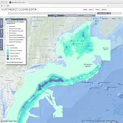
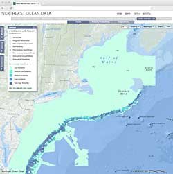
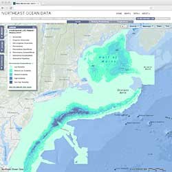
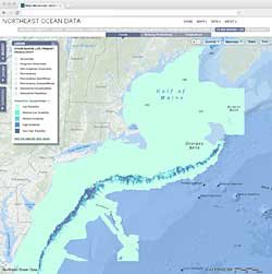
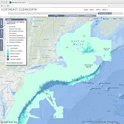
Screenshots of Deep-Sea Coral Maps
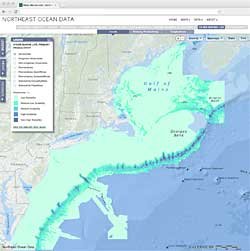 AlcyonaceaImage preview
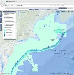 Gorgonian AlcyonaceaImage preview
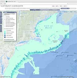 Non-Gorgonian AlcyonaceaImage preview
 PennatulaceaImage preview
 Pennatulacea SessilifloraeImage preview
 Pennatulacea SubsessilifloraeImage preview
 Scleractinia CaryophyliidaeImage preview
 Scleractinia FlabellidaeImage preview
